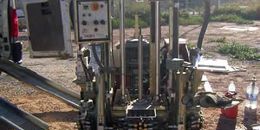
Tulsa’s growth from a frontier trading post on the Arkansas River to a modern energy hub has left behind a patchwork of alluvial deposits, old river channels, and weathered shale that makes every site a small investigation. The 1984 flood reshaped much of the river corridor, and today’s construction keeps pushing into areas where the soil profile can change within a few dozen feet. In our experience, the cone penetration test is the fastest way to map those changes without the mess and delay of hollow-stem augers. When a project in the Pearl District or along the IDL needs continuous stratigraphy, we run CPT soundings with pore-pressure measurement to separate drained sands from silty layers that hold water, giving the structural engineer a clear picture before the first footing goes in.
A continuous CPT profile catches soft seams that SPT blow counts can miss—around here, a six-inch clay lens at 20 feet can double settlement estimates.
Methodology and scope
Local considerations
One pattern we see repeatedly in the Arkansas River floodplain is a dense sand layer overlying normally consolidated clay, with a perched water table that shows up as a negative pore-pressure spike on the CPT log. If you rely only on SPT blow counts, that profile can look like uniform bearing material, but the cone reveals the contrast in drainage behavior. A common risk in midtown Tulsa is encountering residual shale at variable depth; the friction sleeve picks up the transition to weathered rock much more clearly than a split spoon. On sites near old oxbow scars—there are several mapped southeast of downtown—the CPT can identify soft organic silts that trigger consolidation settlement and may require surcharge or ground improvement. The real hazard is assuming the soil column is simpler than it is, and the cone’s continuous record is the best defense against that assumption.
Explanatory video
Applicable standards
ASTM D5778 – Standard Test Method for Electronic Friction Cone and Piezocone Penetration Testing of Soils, Robertson (1990) Soil Classification Using the Cone Penetration Test, ASCE 7 – Minimum Design Loads for Buildings and Other Structures (site class determination)
Associated technical services
Seismic CPT (SCPT) for Vs Profiling
We add a geophone array to the cone string to measure shear wave velocity every meter during the push. This provides site class data per ASCE 7 without a separate MASW line, and gives the structural engineer both bearing and seismic parameters from one sounding.
CPT with Dissipation and Sampling Verification
We run pore-pressure dissipation tests at selected depths to estimate hydraulic conductivity and consolidation characteristics, then follow up with a few thin-wall Shelby tube samples at depths where the CPT soil behavior type calls for laboratory confirmation.
Typical parameters
Frequently asked questions
How deep can you push a CPT in Tulsa soils?
In the alluvial deposits along the Arkansas River corridor we typically reach 60 to 80 feet before refusal on dense sand or gravel. On sites in the eastern part of the city, where residual shale is shallower, the sounding may stop between 30 and 50 feet. We can add pre-drilling through hard surface layers if the project requires deeper data.
Does the cone test replace soil borings entirely?
Not entirely. The CPT provides continuous stratigraphy and excellent data for liquefaction and settlement analysis, but it does not recover a physical sample. We typically recommend pairing the CPT with one or two targeted borings to verify soil classification with laboratory index tests, especially when the soil behavior type falls near a boundary on the Robertson chart.
What does a CPT test cost in the Tulsa area?
Most CPT soundings in the Tulsa area run between US$150 and US$260 per linear foot, depending on depth, whether pore-pressure measurement and dissipation tests are included, and how many soundings are on the same mobilization. A typical 60-foot piezocone sounding with one dissipation test falls near the middle of that range.
How do you interpret pore pressure data from a CPT?
We look at the ratio of excess pore pressure to net cone resistance (Bq) and the normalized friction ratio to place each data point on the SBTn classification chart. In the fine-grained soils common in Tulsa’s floodplain, a Bq above 0.5 typically indicates a normally consolidated clay, while a Bq near zero suggests a drained, granular material. Dissipation curves give us an estimate of the coefficient of consolidation and can highlight layering that affects drainage during construction.