Tulsa grew fast during the oil boom years, spreading across the Arkansas River floodplain and into the rolling Osage County hills. That rapid expansion left us with a patchwork of foundation conditions. Downtown sits on stiff Pleistocene terrace deposits, but head just five minutes east toward the river and you're in soft Holocene alluvium. Seismic microzonation is how we sort out which is which. We map shear-wave velocity profiles, estimate site periods, and classify the soil according to ASCE 7 Chapter 20. It is not just a map on the wall. It is the difference between designing for Site Class C or a Site Class E on two lots half a mile apart. For deeper profiling where the bedrock contact is suspected near 100 feet, we often pull in a masw survey line to get continuous Vs data without the gaps of a borehole-only approach. The goal is always the same: give the structural engineer a defensible Site Class so the seismic design category is not a guess.
In Tulsa, Vs30 can drop from 350 m/s to 180 m/s across a single property line near the river. That changes your seismic design category overnight.
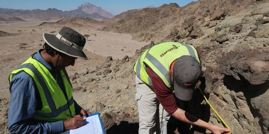
Methodology and scope
Local considerations
Tulsa sits at 722 feet above sea level, and while Oklahoma is not California, the induced seismicity from deep wastewater injection changed the conversation. The Prague 2011 sequence, the Pawnee 2016 M5.8—these events reminded everyone that the ground here can shake. The city's population of 413,000 lives on a mix of dense shale residuum and soft river deposits. The soft deposits amplify motion. A bedrock acceleration of 0.10g can turn into 0.25g at the surface on a Site Class E profile. Microzonation is how we quantify that amplification before the structural drawings are finalized. We have seen projects where the IBC-mandated default site class forced a shift from an ordinary moment frame to a special moment frame, adding serious cost. A proper microzonation study gave the owner Site Class D instead of the default E, saving the frame upgrade and keeping the schedule intact. That is the kind of practical outcome we deliver.
Applicable standards
ASCE 7-22 Minimum Design Loads and Associated Criteria for Buildings and Other Structures, IBC 2021 Seismic Provisions, ASTM D7400 Standard Test Methods for Downhole Seismic Testing, NCEER Liquefaction Resistance of Soils (Youd & Idriss 2001)
Associated technical services
Vs30 Profiling and Site Class
We measure shear-wave velocity through downhole PS logging or MASW arrays, compute Vs30 per ASCE 7-22, and assign the defensible Site Class.
Liquefaction Triggering Analysis
Using SPT data and grain-size curves, we run cyclic stress ratio versus cyclic resistance ratio calculations layer by layer, following the NCEER workshop framework.
Site Response and Amplification Spectra
For critical structures, we build 1D equivalent-linear site response models to generate surface acceleration spectra from bedrock motions.
Typical parameters
Frequently asked questions
What does a seismic microzonation study cost in Tulsa?
Depending on the number of borings, PS logging runs, and lab tests, a Tulsa microzonation study typically runs between US$3,720 and US$14,840. A single-borehole site with MASW falls on the lower end. A multi-borehole campaign with lab grain-size curves and full liquefaction analysis falls on the upper end.
How long does a microzonation field program take?
For a typical Tulsa site with two borings and downhole PS logging, field work wraps up in 2 to 3 days. Lab grain-size tests add another 3 to 5 business days. The final report with site response analysis is usually delivered within three weeks.
Can I use the default Site Class D in IBC without a study?
You can, but the IBC permits using default Site Class D only when you have no soil data. In Tulsa's river corridors, that default can be unconservative. A measured Vs30 profile often reveals Site Class E, which requires a higher seismic design category. Knowing that early avoids a redesign later.